Some of Ireland’s more remote and scenic landscapes will be captured for Google Street View using their Trekker over the next three months. Failte Ireland is undertaking the project by borrowing the Google Trekker which is a wearable backpack with a camera system on top.
The sophisticated mapping equipment was designed by Google to map to capture Street View imagery in off-road locations where the normal Street View car can’t access. It can be walked through pedestrian walkways or trails on foot, and automatically gathers images as it goes.
Google’s Trekker loan programme, Fáilte Ireland is borrowing the kit to map and bring to life some of Ireland’s most remote beauty and historical locations.
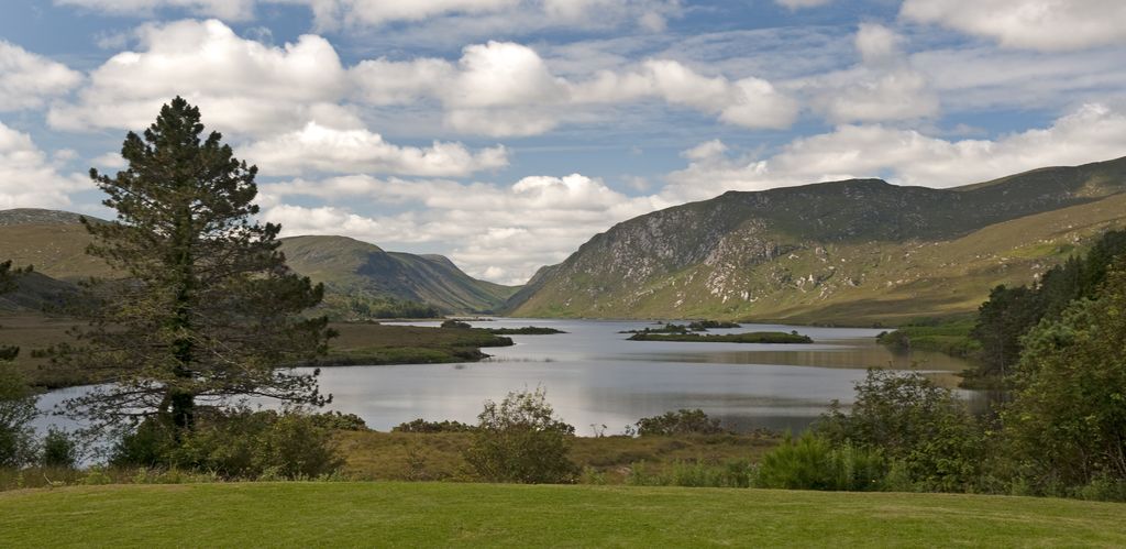
Fáilte Ireland has begun the process by capturing sights along the immensely popular Wild Atlantic Way. Remote locations such as islands like Inishbofin, Achill, the Blaskets and Dun Aengus on Inish Mor will be included as well as iconic landmarks such as Sliabh Liag, Croagh Patrick and Mizen Head.
The agency said that over the next few weeks it will be capturing footage of many places people have not been able to see online before.
Fáilte Ireland will also be borrowing the Trekker to capture many of the highlights of Ireland’s Ancient East, including the narrow streets of medieval towns, the grounds of stately homes and attractions such as Newgrange. The specialised camera will also be used to capture parts of the Dublin experience, particularly many of the scenic walks in places such as Howth Head, Sandycove and the Royal Canal.
Fáilte Ireland’s head of digital, Darragh Anglim, described the reasons for starting the project:
“Six out of 10 visitors to Ireland last year cited the internet as an influence when choosing the country as a destination. Three quarters of visitors told us that they use the internet to plan their itinerary here before arriving.
“The use of Google Trekker is therefore a welcome addition to Fáilte Ireland’s significant engagement with digital and social media to promote Ireland.
”When finally captured and uploaded, we hope that millions worldwide get to explore very beautiful and attractive images of some of our remotest parts through Google Street View. We also hope that these images inspire many viewers to subsequently make the crucial decision to come over here to see the real thing.”
Google also welcomed the announcement as Laurian Clemence, communications manager with Google, stated:
“We are delighted to be partnering with Fáilte Ireland in order to bring Street View imagery to an area of the world that is rich in heritage and known for its outstanding natural beauty; which anyone across the world will be able to access directly from their smartphones or computer via Google Maps, and encourage many to visit,”
It is hoped that all of the footage captured over the coming weeks will be processed by Google and made available to those the public and those planning trips to Ireland in early 2016.